One of my pet peeves is that St. Louis gets a unjustified bad rap every time the Morgan Quitno Press publishes their annual crime rate rankings.
Each year when the reports come out stating that St. Louis has one of the highest crime rates in the country, the local media reminds everyone that the statistics simply don’t accurately capture the St. Louis region. Unfortunately, only local residents are listening to the local media reports. Anyone outside of the region that is considering a move to St. Louis and searches on “crime rates in St. Louis” will only hear the bad news.
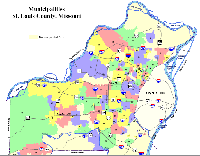
The problem is the St. Louis City-St. Louis County distinction. St. Louis City is a single municipality with one police department and includes many of the lowest income areas in the region. In contrast, St. Louis County is made up of 91 municipalities plus unincorporated land that is scattered throughout the entire county. In addition, St. Charles County is really an extension of the St. Louis metro area and includes most of the outer ring suburbs and new construction.
When questioned, the authors of the annual report admit that it is too hard to obtain information from the 91 municipalities in St. Louis County, so they simply exclude those areas and report on just St. Louis City!
- St. Louis City – 348,189
- St. Louis County – 1,016,315
- St. Charles County – 283,883
If every other city in the country had their middle-class and affluent suburban communities excluded from the analysis, St. Louis would look a whole lot better in the rankings.
Changing Perceptions:
The best way to change the perception that St. Louis has a high crime rate is through transparency.
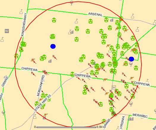
St. Louis City publishes every crime that occurs in the city on an interactive crime map. Simply type in an address, note the type of crimes to be displayed on the map, and you have instant information.
It’s time that St. Louis County joined St. Louis City by providing crime data to the public in an easy to digest map format.
CrimeReports.com:
Thanks to Jay Thompson’s post at The Phoenix Real Estate Guy, I discovered a new website that makes it easy for every city to provide transparent crime data to the public without having to create their own mapping solution.
CrimeReports. com allows police departments to easily publish their crime data on an interactive map that improves communication with the public and provides transparency on crime related issues.
St. Louis County Crime Reports:
So far, only 8 Missouri cities have signed up. Four of the cities are located in St. Louis County:
- Maryland Heights
- Hazelwood
- Kirkwood
- Oakland
But, when you actually go into the maps for these cities, Kirkwood and Oakland have not provided any crime data to the site. Hopefully it is coming soon.
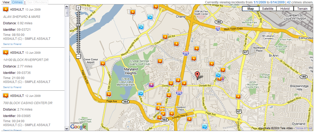
The site is really easy to use. I ran a search for both Maryland Heights and Hazelwood for violent crimes committed so far in 2009 for both cities.
Maryland Heights Crime Map:
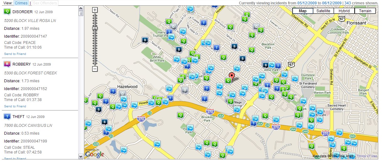
Hazelwood Crime Map:
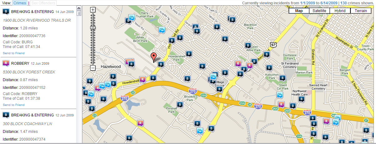
Legend: H = Homicide, R = Robbery, A = Assault, , B = Breaking & Entering, S = Sexual Assault
(Since Hazelwood appears not to classify any crimes as Assaults, I added Breaking & Entering on the map to better demonstrate the map)
It’s time for every city to make their crime data available to the public.